GNSS Advanced (Professional Certificate)
- Space
- 576 (Registered)
 Download the Brochure
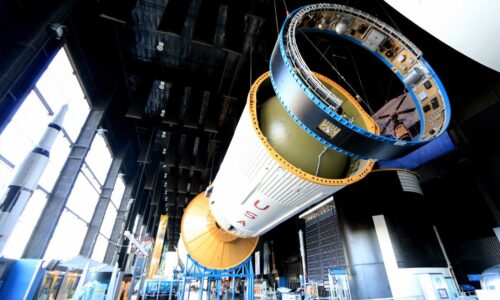
The Next Space Frontier
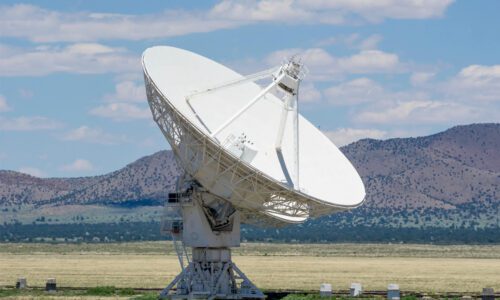
Global Navigation Satellite Systems (GNSS) have revolutionized navigation and positioning, providing accurate location information worldwide. GNSS systems, such as GPS, GLONASS, Galileo, and BeiDou, rely on a constellation of satellites to broadcast signals enabling receivers to determine their precise position. Current trends in GNSS involve increased accuracy, reliability, and accessibility, with advancements like multi-constellation and multi-frequency receivers enhancing performance.
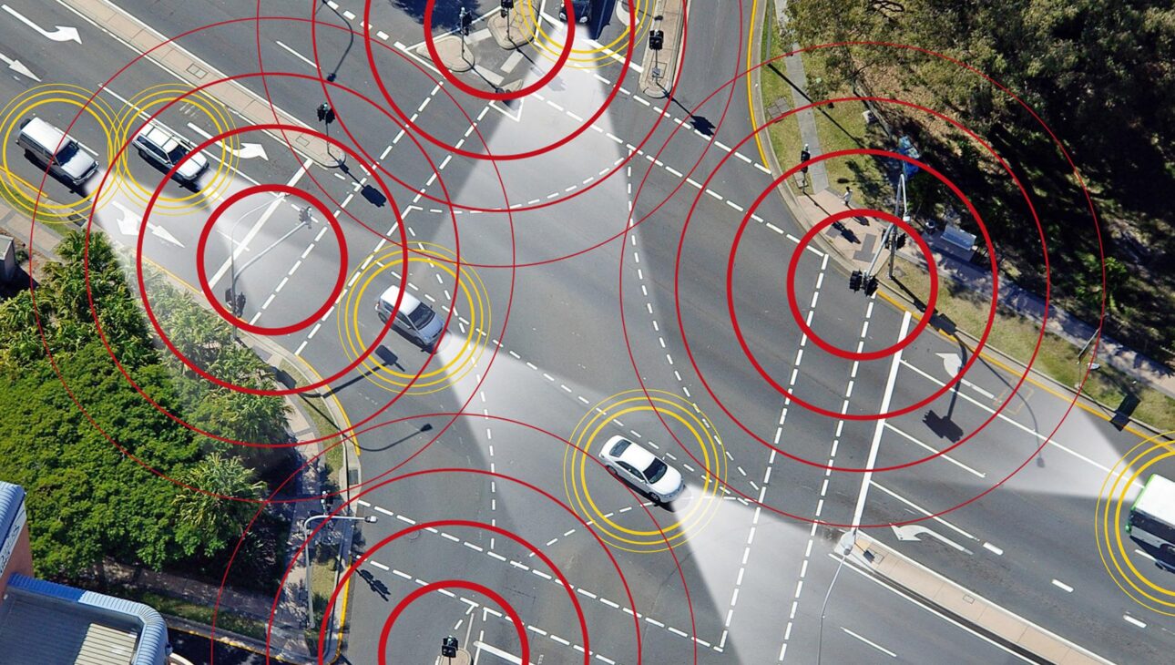
Evolution in GNSS technology includes the deployment of next-generation satellites with improved capabilities and the integration of augmentation systems for enhanced accuracy in challenging environments. Projections indicate continued expansion of GNSS applications across various sectors, including transportation, agriculture, telecommunications, and emergency services, with an estimated market value of over $320 billion by 2025. These advancements promise to further empower industries and individuals with reliable, high-precision positioning capabilities, driving innovation and economic growth.
Overview of the GNSS Advanced Course
SEAC professional online Space GNSS training is a program aiming at providing students with an advanced and comprehensive understanding of satellite navigation technology and its applications. Throughout the course, participants will focus on the principles of satellite navigation, including the functioning of satellite constellations, signal transmission, and receiver operation.
Global Positioning System (GPS) is analysed as the primary satellite navigation system. Additionally, they will explore other systems like Galileo, GLONASS and BeiDou. The students of GNSS will focus on the different types of receivers, design considerations, and signal processing techniques to interpret satellite data accurately. This will be followed by the different augmentation systems (SBAS and GBAS) , as well as error sources when using the systems. Students will also make use of real case studies to interpret satellite data accurately.
In addition, the course prioritizes practical skills by introducing Software-Defined Radio (SDR) through MATLAB, which will serve as the principal tool for GNSS signal processing throughout the course. Students will study limitations in the signal processing chain, which includes jamming, spoofing, and multipath, and explore advanced methodologies such as Precise Point Positioning (PPP), Real-Time Kinematics (RTK), and augmentation systems like SBAS, GBAS and they will further develop the technical expertise and analytical skills required to effectively apply GNSS technology in practical scenarios through case studies and practical exercises, along with identifying common sources of error in GNSS and the impact on accuracy and precision, which will also be discussed in the course.
SEAC – Certificate of Completion
Advance your career in GNSS Systems with SEAC—first-prize winner of the Galileo Masters University Challenge. Incubated at ESA BIC Hessen with leading industry partners, you’ll earn a Certificate of Completion in GNSS advanced.

The skills you will develop
Through this GNSS , you will grasp principles, master GPS architecture, compare systems, optimize receivers, mitigate errors, and explore applications
- Understanding Advanced Topics: Explore GNSS signal processing, system vulnerabilities, and precision positioning, including PPP, RTK, SBAS, GBAS, and TBAS.
- Expertise in Signal Processing: Learn advanced GNSS methods such as acquisition, tracking, and navigation message decoding, applying them within an SDR.
- Integration of Emerging Technologies: Learn how GNSS integrates with INS, and emerging fields like Machine Learning and Quantum Computing.
- Interference and Countermeasure Mastery: Analyze multipath effects, ionospheric scintillation, jamming, and spoofing to improve GNSS reliability and stability.
Participant Profile
Participants of the GNSS course are:
- Engineers who want to understand the key technology drivers for GNSS Systems and all its technical components.
- Engineers who want to start or accelerate their career, in the GNSS sector.
- Managers involved in the development or operations of a GNSS or component.
- Entrepreneurs wanting to start up or scale up their business exploiting GNSS.
- Participants with an interest in GNSS and wanting to understand the key elements and innovation.
Career Center
SEAC offers career acceleration with lifetime access to premium packages, and unlocking private job notifications through our Careers platform. Foster development through lifelong learning, mentoring and networking.
- Certificate of completion: Share your success online and make your CV unique.
- Accelerate your career with SEAC- Careers: Unlock the private job offers , and get lifetime premium package.
- Live Sessions with instructors: Twice a year, meet the instructor, and get career advices.
- Lifelong Learning: Lifetime updates in the courses, and loyalty discount of up to 15% to all Alumni.
- Mentoring Opportunities at SEAC, access mentoring and network opportunities regularly.
→ Download the Brochure
Curriculum
- 11 Sections
- 52 Lessons
- Lifetime
- Global Navigation Satellite SystemsGlobal Navigation Satellite Systems2
- The Radio-Navigation Concept4
- GNSS, All Global Navigation Systems7
- 3.13.1. GNSS System Segments
- 3.23.2. Global Positioning System – GPS
- 3.33.3. European Global Navigation Satellite System – Galilleo
- 3.43.4. Other Satellite Navigation Systems (Glonass, Beidou..)
- 3.5Reading: Analysis on coverage ability of BeiDou navigation satellite system for manned spacecraft
- 3.63.5. GNSS Systems Comparison
- 3.7Reading: Battles in space: De-facto standardization of Global Navigation Satellite Systems
- Fundamentals of GNSS ReceiversFundamentals of GNSS receivers8
- 4.14.1. Receiver Architecture
- 4.24.2. Acquisition
- 4.34.3. Tracking
- 4.4Reading: Monitoring the dynamic response of a pedestrian bridge by using low-cost GNSS receivers
- 4.54.4. Navigation Unit
- 4.64.5. Interference, Multipath, and Scintillation
- 4.7Reading: Investigation of the impact of Ionospheric Scintillation on GNSS Performance over East Africa
- 4.84.6. Use cases and associated level of performance
- Introduction of the Major Augmentation SystemsIntroduction of the major Augmentation Systems5
- Advanced GNSS Signal Foundations6.1 Understanding GNSS and Signal Structure4
- Advanced GNSS Acquisition & Tracking6
- Advanced GNSS Interference & Resilience3
- MATLAB + SKYDEL4
- Advanced GNSS SDR Techniques6
- Advanced GNSS PPP/RTK Solutions3
Lecturer
Related Courses